For each model, appropriate boundary conditions are required to represent the relationship of the system to the surrounding systems. In the case of a groundwater model, boundary conditions describe the connection to wells, rivers, drains, canals, lakes as well as groundwater recharge caused by precipitation.
It is still challenging and often discussed how rivers and canals can best be connected to groundwater models. However, the specific demands are different: Depending on the scientific question, parameter availability and model dimension, the boundaries can look numerically and geometrically different.
My models were usually 2D or 3D and the rivers are represented in 1D. Sometimes a fixed head is enough, sometimes a 3rd kind is better. It’s always more tricky with Richards Flow models.
I would like to start a discussion about requirements for River-BCs. and collect an overview of what’s there and what could be a feature request (mainly for OGS6, I guess).
Table: e.g. for Groundwater Flow (Planed)
| Dirichlet | Neumann | Robin | |
|---|---|---|---|
| 1D in 1D | 5 | 5 | |
| 1D in 2D | 5 6 | 5 6 | 6 |
| 2D in 2D | 5 (6) | 5 (6) | (6) |
| 1D in 3D | 5 (6) | 5 (6) | (6) |
| 2D in 3D | 5 6 | 5 6 | 6 |
| 3D in 3D |
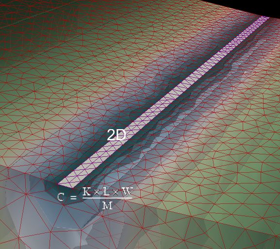
Figure: my first Test of the Robin-BC in OGS6 (next testing Python binding)